 OkMap is an interactive software which allows you to work on your computer screen with digital maps that you have either bought or scanned. OkMap can also import vectorial data from the most common formats and DEM data relevant to height informations.
Through these maps, you can organize your paths by creating waypoints, routes and tracks on your computer monitor, and upload this data to your GPS. To make it easier, OkMap provides you also with autorouting and geocoding functions.
Visit OkMap freeware GPS software
License
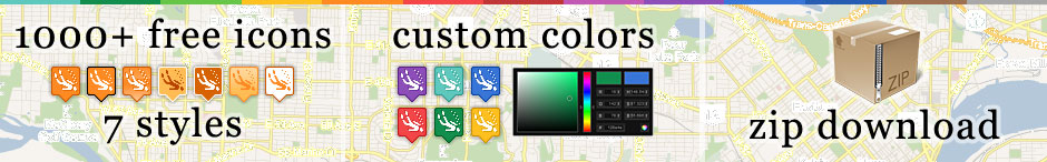
Icons are availabe unter the Creative Commons Attribution-Share Alike 3.0 Unported license (CC BY SA 3.0) which lets you remix, tweak, and build upon our work even for commercial reasons, as long as you credit the project and license your new creations under the identical terms.Please credit as follows: Maps Icons Collection https://mapicons.mapsmarker.com
Logo:
Please download and host the icons on your own server, Dropbox or Google Drive.