
Plan Bike Rides
- Draw bike rides on a map, then download to your GPS unit for turn by turn directions while training
- See an elevation profile as you map, so you know how steep the hills will be
- No sign-up required, no GPS required (but Garmin GPS units are supported)
Training Logs
- Upload your GPX or TCX files
- Use Garmin Communicator for direct sync with compatible units (Edge 305, Edge 500, Edge 800 etc)
- See your activities on a calendar
- Activity summary gives weekly, monthly and yearly insight into your training
Analyze Performance
- See a graph of your speed, cadence, heart rate and power data
- Zoom in on a segment of a route and see data for that section
- Sort your routes by location, distance, elevation gain and more
License
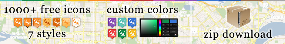
Icons are availabe unter the Creative Commons Attribution-Share Alike 3.0 Unported license (CC BY SA 3.0) which lets you remix, tweak, and build upon our work even for commercial reasons, as long as you credit the project and license your new creations under the identical terms.Please credit as follows: Maps Icons Collection https://mapicons.mapsmarker.com
Logo:
Please download and host the icons on your own server, Dropbox or Google Drive.